Welcome to Broughton
CLICK FOR 2021 CENSUS DATAIntroduction
Broughton is a small town and civil parish situated on the Roman Ermine Street, in the North Lincolnshire district of Lincolnshire, England. The population of the civil parish at the 2011 census was 5,726. It is situated approximately 2 miles (3 km) north-west from the town of Brigg. The hamlets of Wressle, Castlethorpe, and part of Scawby Brook lie within the parish boundaries. A settlement existed at Broughton in the Neolithic Stone Age (New Stone Age). Stone tools have been found particularly on the commons near Wressle. Pottery was discovered at a house on Ermine Street in 1956, thought to date back to the Bronze Age period. There were burials discovered around 1850 in the commons to the north-east of Broughton. Broughton's St Mary's Church is a Grade I listed building, with a very rare Saxon staircase tower, one of four in the country. The others are at Brixworth, Brigstock and Hough-on-the-Hill. The church is thought to date to the 11th century with major alterations in the 12th, 14th and 17th centuries. Gokewell Priory was founded nearby in the late 12th century to house a community of nuns. The Baronetcy of Broughton was created 11 December 1660 for Sir Edmund Anderson and became extinct on the death of the 9th Baron, Sir Charles Henry John Anderson, 8 October 1891. To the west and north, Broughton has extensive woodlands that stretch toward Dragonby, Scunthorpe and Appleby. The south of the woods sits one of the few 4-star hotels in the area, and which has a 27-hole golf course (formerly Forest Pines, now Doubletree by Hilton - though still commonly known as Forest Pines). Though considered by many to be a village, it became a town in 1974, although it still has a village hall. At the 2011 Census, the size of Broughton parish was slightly larger than its neighbour Brigg, due to housing developments at the edge of the parish in Scawby Brook.
Parish Information
Parish statistics
Area |
349 hectares |
|---|---|
Population |
217 (2021) |
Density |
62 people/km2 |
Mean age |
45.3 |
Ward |
Amotherby |
District |
Ryedale |
Postcodes |
YO17 |
ONS ID |
E04007556 |
Council
Contact details for Broughton Parish Council, including current councillors, precept data and election results.
Education
View educational establishments in Broughton Parish. Data includes OFSTED rating and current appointed governors.
Business
Business directory listing local businesses operating within Broughton Parish.
Planning
View recent planning applications submitted for Broughton Parish.
Property
Price paid data for all property sold in Broughton Parish since 2018. Includes average prices for each property type.
Heritage
Local heritage sites, historic churches, heritage pubs plus local heritage initiatives for Broughton Parish.
Local News

Hosted and licensed by Gazette Herald
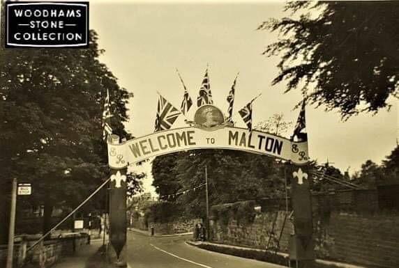
Malton: A look back at Broughton Rise
Published: 31st Jan 2023

Hosted and licensed by YO1 Radio
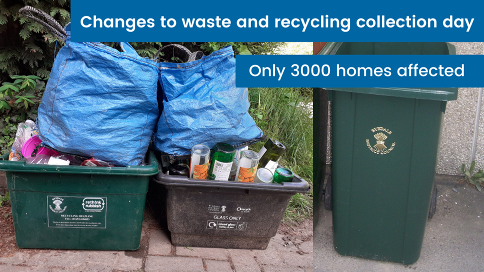
Ryedale District Council is changing the bin rounds for 3000 homes.
Published: 14th Nov 2022

Hosted and licensed by YorkMix
New blue recycling boxes coming to Ryedale homes – as council reveals bin round changes
Published: 7th Feb 2023